Southern Illinois
Excavation & Sitework in Golconda, IL
Redline serves Golconda property owners with excavation, grading, clearing and drainage work. Describe the intended use of the land and any water or access concerns so the project can begin with an appropriate site assessment.
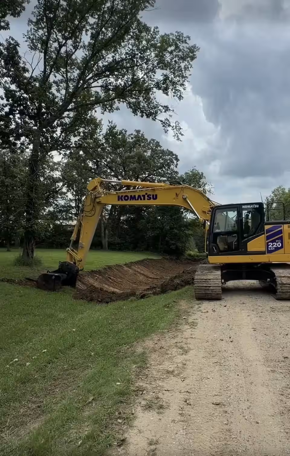
Example of Redline’s work across our service area.
Understand the water route before changing ground levels
A low spot is only part of a drainage problem. Look at where water enters, how it travels through the work area and where it can leave. Raising one area or cutting a channel can affect an adjoining area, so an estimate should address the whole relevant drainage path and any design information needed.
Services available for your project
Residential, landowner and agricultural work
Site Preparation · Precision Grading · Demolition & Haul Off · Land Clearing · Pond Construction · Foundations · Erosion Control · Drainage
Choose the service that fits your goal. Redline handles footing excavation and concrete foundations. Tell us which steps you need: digging, forms, steel reinforcement or pouring concrete. The written estimate will list what is included. Pond repairs and other specialized work need a site review.
Commercial project packages
Site Development · Precision Grading · Utilities · Demolition · Clearing & Grubbing
Send the plans and describe the work you want priced. Note access limits and when the next trade needs the site. For utility work, identify the trench or drainage system and the tasks assigned to other installers.
A practical planning example
For a wet access route, the assessment may compare restoring a blocked flow path, reshaping the approach and rebuilding a soft section. A pipe should not be selected simply because one is already present nearby. These are illustrative options; the actual remedy depends on the property.
Local planning resources
For a Golconda parcel with water concerns, Illinois DNR provides floodplain and water-resource mapping tools. Review the exact property and discuss relevant information with the responsible local authority; a regional map does not establish the conditions of every lot.
Prepare for a useful estimate
- Send the location and goal. Include the full address or parcel location, your intended use and a few photographs.
- Describe the conditions. Note access width, retained features, known utilities, wet areas and any plans or measurements already available.
- Agree the work. An assessment and written scope should establish inclusions, exclusions, material handling and the intended finish.
- Confirm the sequence. Coordinate access, required project information and work by others before scheduling.
Work area, ground conditions, haul distance, imported material, equipment access and the required finish can affect the estimate. A city name or photograph alone is not enough to promise a price or completion date.
Project questions
Does a flood map tell me exactly how my yard should be graded?
No. Mapping is a starting point for identifying issues to investigate. Site levels, drainage connections and any required professional design still need to be considered for the proposed work.
How do I arrange a project discussion?
Use the estimate form or call 270-556-0757 with the property location and requested work. We serve projects across Southern Illinois and Western Kentucky.
Discuss your Golconda project
Tell us what you want to accomplish at your Golconda property. Include the preferred timing and any decisions that are still open.
Call 270-556-0757 · View all service areas
Monday–Friday: 7 a.m.–5 p.m. · Saturday: 9 a.m.–4 p.m. · Sunday: Closed. Central time.